


Book Chapter:
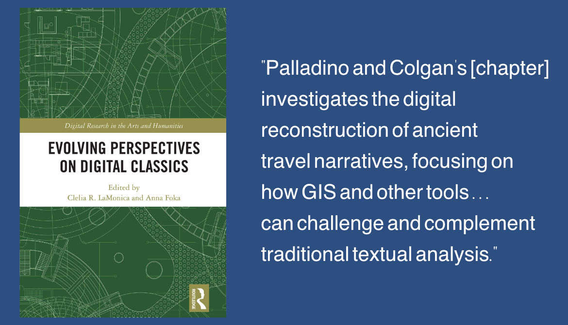
Evolving Perspectives on Digital Classics
Publisher:
Abingdon: Routledge, 2025
Website Link:
Taylor & Francis GroupProject Details:
- Geo-semantic annotation
- GIS
- ArcGIS Pro
Invited Lecturer:
ICS Institute of Classical Studies / University of London School of Advanced Study - Online, Feb 12, 2026
Speakers:
Cian Colgan, Furman
Chiara Palladino, Durham
Rebecca Seifried, UMass Amherst
Website Links:
ICS / University of LondonLecture on YouTube
GitHub Sunoikisis
Invitational Presentation with Q&A:
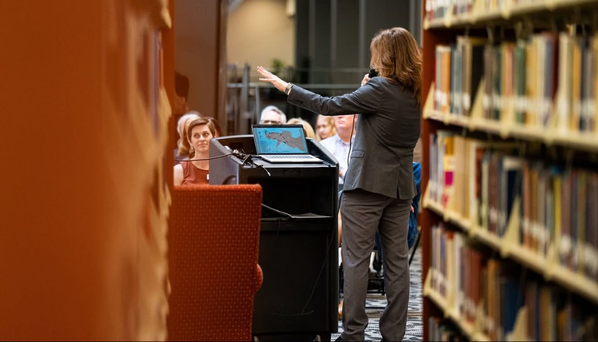
Sunoikisis Digital Classics: Geographic Information SystemsICS: "This session introduces Geographic Information Systems (GIS) and illustrates how it can be used to explore spatial patterns in cultural heritage datasets." It begins "with an overview of the basic building blocks of GIS, including raster and vector data types, spatial vs. attribute data, and coordinate reference systems." It also includes concrete case studies that use GIS with ancient spatial data, instruction on utilizing QGIS to work with geospatial data, and hands-on exercises for learners.
Project Details:
- GIS
- Raster and Vector data
- Spatial vs. Attribute data
- QGIS
Conference:
Digital Humanities Benelux 2026 Conference, Maastricht, Netherlands, June 2-5, 2026.
Website Link:
ZenodoPresentations and Posters:
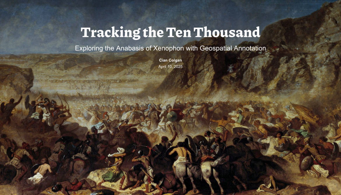
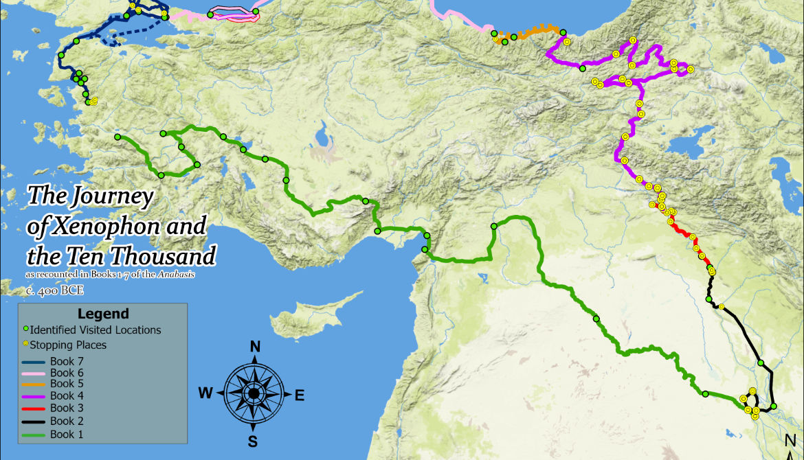
Tracking the Ten Thousand: Using GIS to Conceptualize Spatial Narrative in the Anabasis of XenophonThe Anabasis is a military travelogue that recounts the journey of a Greek mercenary army. Much discourse has surrounded the inconsistencies of Xenophon’s account, and many static maps have attempted to retrace his steps. While static representations are valuable, this ongoing research project utilizes interactive, dynamic, and exploratory GIS mapping to demonstrate how GIS technologies can be used as an interpretive framework to deepen literary analysis and reveal new insights into authorial bias.
Project Details:
- Interactive GIS mapping
- Digital Humanities
- Literary Analysis
Conference:
The Classical Association of the Middle West and South - Mobile, Alabama, March 11-14, 2026
Website Link:
CAMWSPresentations and Posters:
Ἐντεῦθεν ἐξελαύνει: How Modern Geospatial Analyses Reveal Authorial Intent in Ancient TextsWinner of the Presidential Award for Outstanding Undergraduate Poster Presentation (March 2026). Issued by the Classical Association of the Middle West and South, 2025-2026. This research continues to apply GIS technologies to the seven books of Xenophon's Anabasis while also integrating Textual Analysis and Digital Storytelling to further explore its physical environment and Cultural Heritage.
Project Details:
- Digital Storytelling
- Textual Analysis
- Cultural Heritage
Conference:
Southeastern Division of the American Association of Geographers - Lexington, Kentucky, Nov 23-24, 2025
Conference:
Furman Engaged - Greenville, South Carolina, April 11, 2025
Website Link:
Tracking the Ten ThousandPresentations and Posters:
Tracking the Ten Thousand: Exploring Xenophon's Anabasis with Geospatial AnnotationThis research studies the seven books of Xenophon's Anabasis using a variety of GIS technologies and ad hoc reconstructions to investigate whether new insights can be gained by explicitly modeling the relationship between Xenophon's text and the material conditions of the surrounding environment. To accomplish this, I utilize three key techniques: 1) Radial Distance Buffers, 2) Viewshed Analysis and 3-D Modeling, and 3) Least-Cost Analyses using a Cost-Surface Raster (CSR).
Project Details:
- Radial Distance Buffers
- Viewshed Analysis & 3-D Modeling
- Least-Cost Analyses & CSR
Conference:
Methods and Challenges for Mapping the Ancient World - Rome, Italy, May 29-30, 2025
Authors:
Cian Colgan, Greta Hawes, Chiara Palladino, Scott Smith
Website Link:
StoryMaps ArcGISPresentations and Posters:
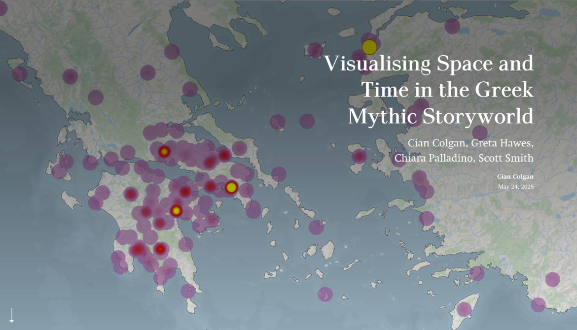
Visualising Space and Time in the Greek Mythic StoryworldThe Periegesis is one of the most valuable ancient texts because it is a rich treasure trove of information about how local communities understood and interacted with the myths that told the story of Greece's deep past. This StoryMap presents the preliminary results of experiments conducted with GIS and Web Mapping using data that MANTO has collected. It explores the potential of using such modern methods to communicate the spatial and temporal aspects of ancient myth, and the practical and conceptual limits of such approaches.
Project Details:
- ArcGIS, Web Mapping
- MANTO inter & intra-generational Timeslider Weighted Heat Maps
- Mythography